Kella DOUZOUNÉ
Geospatial & Data Systems Expert
PhD Candidate | GISCI-Certified | PMP | UN Data Analytics Certified
About

Geospatial & Data Systems Expert
Kella Douzouné is a results-driven Geospatial and Data Analyst with over 17 years of experience designing and deploying GIS-enabled solutions across Africa. Specialized in public health surveillance, humanitarian information management, and data systems design.
- Phone: +235 66 24 62 79
- Email: kella.douzoune@gmail.com
- ORCID: 0009-0000-5716-0177
- Available for: Consulting & Projects
Years Experience in Geospatial Systems
Projects Contributed across Africa
Professionals Trained in GIS & Data Systems
Professional Certifications GISCI, PMP, PCAP, UN
Core Skills
Technical and Professional Expertise
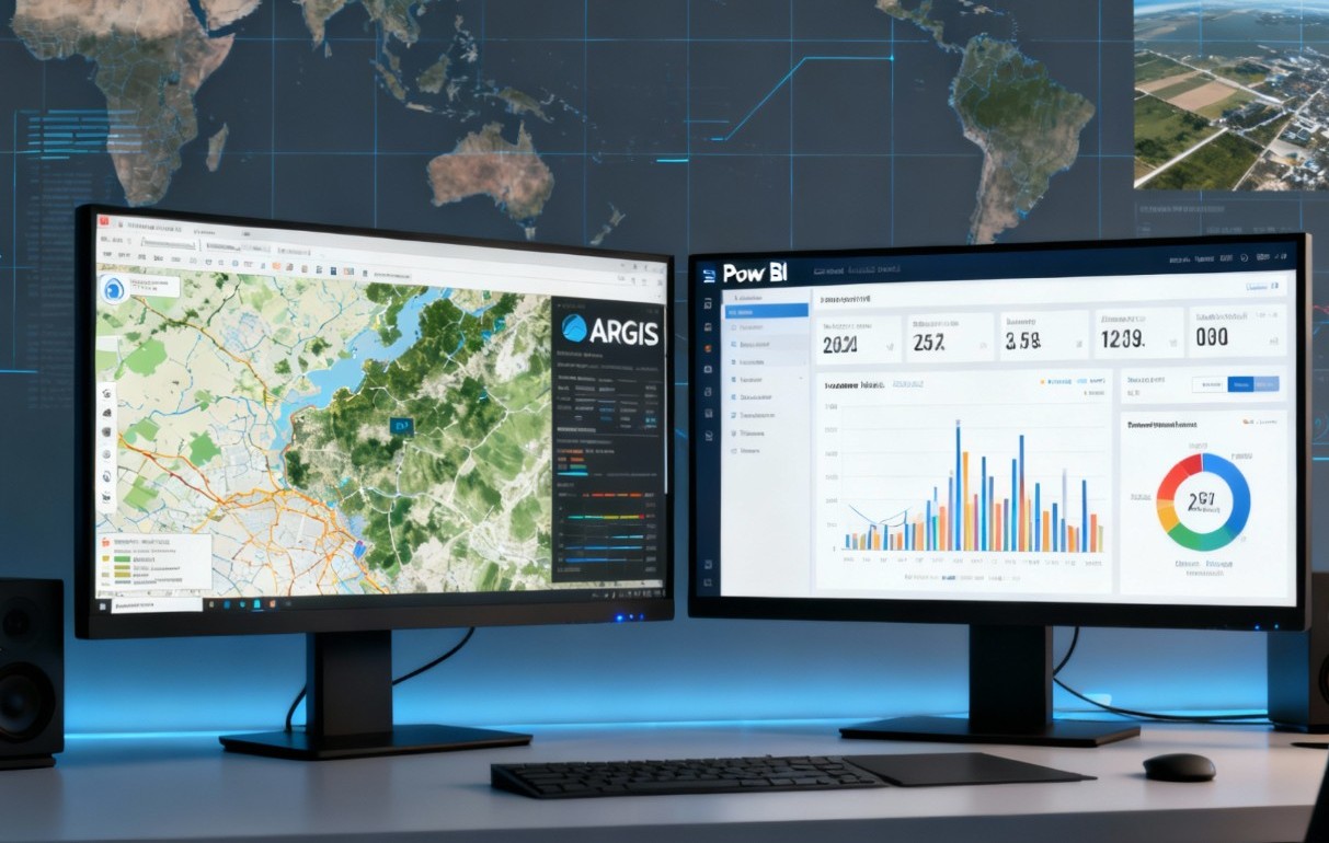
GIS & Spatial Analysis Tools
- FME, ArcGIS Pro, QGIS, PostGIS
- ArcGIS Dashboards, StoryMaps
Data Analysis & Geostatistics
- Kriging, Spatial Regression, Data Quality Control
Programming & Automation
- Python (including Pandas and GeoPandas), SQL
- Power BI Automation
Mobile Data Collection
- KoboToolbox, ODK, Survey123
Training & Capacity Building
- Delivered training to 1,000+ professionals
Project Management
- PMP-certified
- Digital Transformation, Decision Support Systems
Systems Architecture & Development
- Systems Architecture Design
- Interoperability
- Cybersecurity
- Data Governance
- Information System Design & Deployment
- Digital Tool Development
International Standards & Interoperability
- DHIS2, HL7, FHIR, OpenHIE
Data Analysis
- Quantitative and qualitative analysis
Software Proficiency
- Microsoft Windows and Microsoft Teams
Certifications

PCAP
Certified Associate in Python Programming

GISCI
Certified GIS Professional

PMP
Project Management Professional

UN
Data Analytics Certified
Projects
Geospatial and Analytical Solutions
Resume
Professional Background & Experience
Biography
Certified PMP®, GISP®, and Geospatial Data® professional with 17+ years of experience delivering GIS, monitoring & evaluation, and data-driven decision support solutions across Africa. Skilled in GIS, KoboToolbox, RASME, GEMS, PostGIS, Python, and Power BI, with expertise in geostatistics, real-time geospatial tracking, and mobile data collection. Proven success in supporting WHO, the World Bank, AfDB, UNICEF, IOM, UNHCR, OIF, and World Vision to enhance humanitarian operations, public health surveillance, and digital transformation. Recognized for capacity building, having trained over 1,000 professionals. Currently pursuing a Ph.D. in Geospatial Information Science focusing on Decision Support Systems for animal disease surveillance for Chad.
Professional Experience
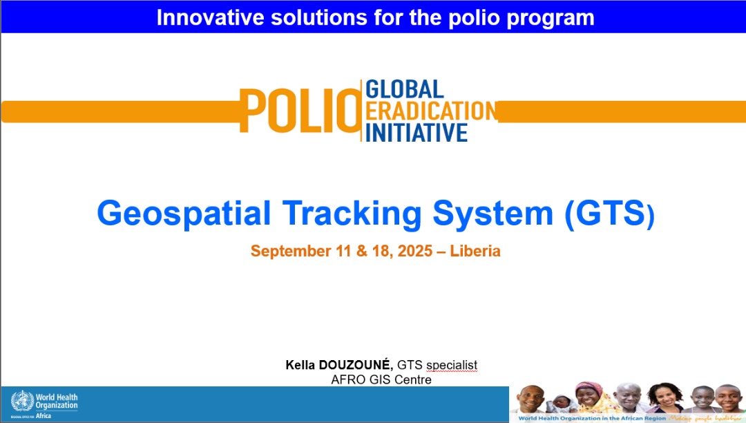
Data Management & Geospatial Tracking System (GTS) Consultant - Regional Office
From 2023 to present
WHO, Brazzaville
Expert in Data Collection & Analysis
2021 – 2024
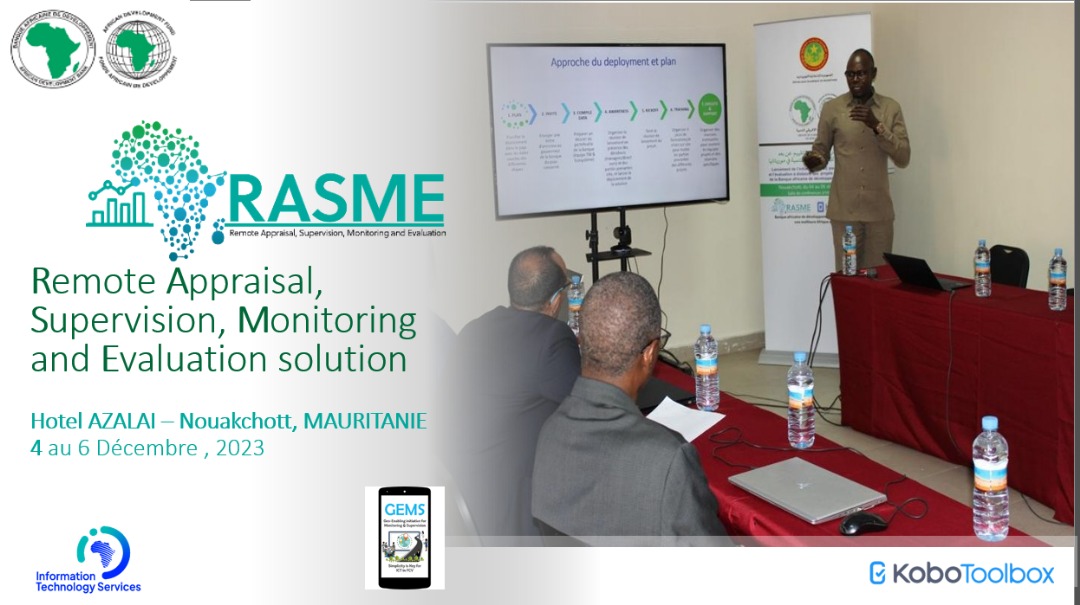
AfDB, Abidjan
GIS Stakeholder Engagement Consultant
2022
eHealth Africa, N'Djamena
GIS, M&E and Mobile Data Specialist
2020 – 2022
World Bank, N'Djamena
Information Management Officer
2021
UNICEF, N'Djamena
AFRO GIS Consultant
2020
WHO, Brazzaville
National GIS Officer
2018 – 2019
IOM, N'Djamena
Information Management Associate
2018 – 2019
UNHCR, N'Djamena
Field Data Collection Supervisor
2017 – 2018
eHealth Africa, N'Djamena
Project Assistant for Doctoral Schools
2013 – 2014
OIF, Rabat
System Administrator & Correspondence Controller
2009 – 2014
World Vision, N'Djamena
Education & Certifications
Ph.D. (in progress) — Geospatial Information Science and Technology and Sustainable Development
2022 – Present
African Regional Institute for Geospatial Information Science and Technology (AFRIGIST), Ile-Ife, Nigeria
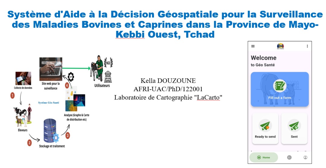
Thesis topic: Spatial Decision Support System (SDSS) for Animal Disease Surveillance in Chad.
M.Sc. — Geo-information in Disaster Situations
2024 – 2025
University of Copenhagen, Denmark
Master 2 — Computer Science Applied to GIS
2012 – 2017
University of Douala & École nationale des sciences géographiques (ENSG), Paris, France
Master 1 — Advanced Computer Science
2011 – 2012
Institut Supérieur des Sciences Appliquées, N'Djamena, Chad
Bachelor — Computer Science
2007 – 2011
Institut Supérieur des Sciences Appliquées, N'Djamena, Chad
Diploma in Information Technology
2004 – 2007
Pan-African Institute of Human Development, Kaduna, Nigeria
PMP® – Project Management Professional
2025
Project Management Institute
GISP® – Certified GIS Professional
2025
GIS Certification Institution
UN Data Analytics Professional
2024
UN System Staff College
Publications
Integration of Geospatial Technologies and Artificial Intelligence for Surveillance of Bovine and Caprine Diseases in Chad: A Systematic Review. In final review
2026
International Journal of Geographical Information Science
Design of a Spatial Decision Support System for the Collection and Surveillance of Animal Diseases in Mayo-Kebbi Ouest, Chad
2026
Tropical Animal Health and Production Review https://doi.org/10.19182/remvt.37898
Mapping livestock systems, bovine and caprine diseases in Mayo-Kebbi Ouest Province, Chad
Feb 2025
Geospatial Health https://doi.org/10.4081/gh.2025.1365
Application of Ordinary Kriging in Mapping Soil Organic Carbon in Chad using SoilGrids data
2025
South African Journal of Geomatics, Jan. 2025 https://doi.org/10.4314/sajg.v9i1.2
Conference presentations
Designing a Geospatial Tracking System for Ovine and Bovine Monitoring in the Mayo-Kebbi West Province of Chad
17–21 novembre 2025
AfricaGIS 2025 & UN-GGIM: Africa XI Joint Conference — Harnessing Geospatial Intelligence for Africa’s Sustainable and Resilient Future. Accra, Ghana
Visualisation de données géospatiales en santé : Applications en Afrique, Défis et Opportunités
14 septembre 2024
Comité d’Experts Internationaux en Santé Numérique pour l’Afrique (CEiSNA)